Glossary
This page defines common technical terms used in the OFO tutorials. TODO: Expand on these definitions.
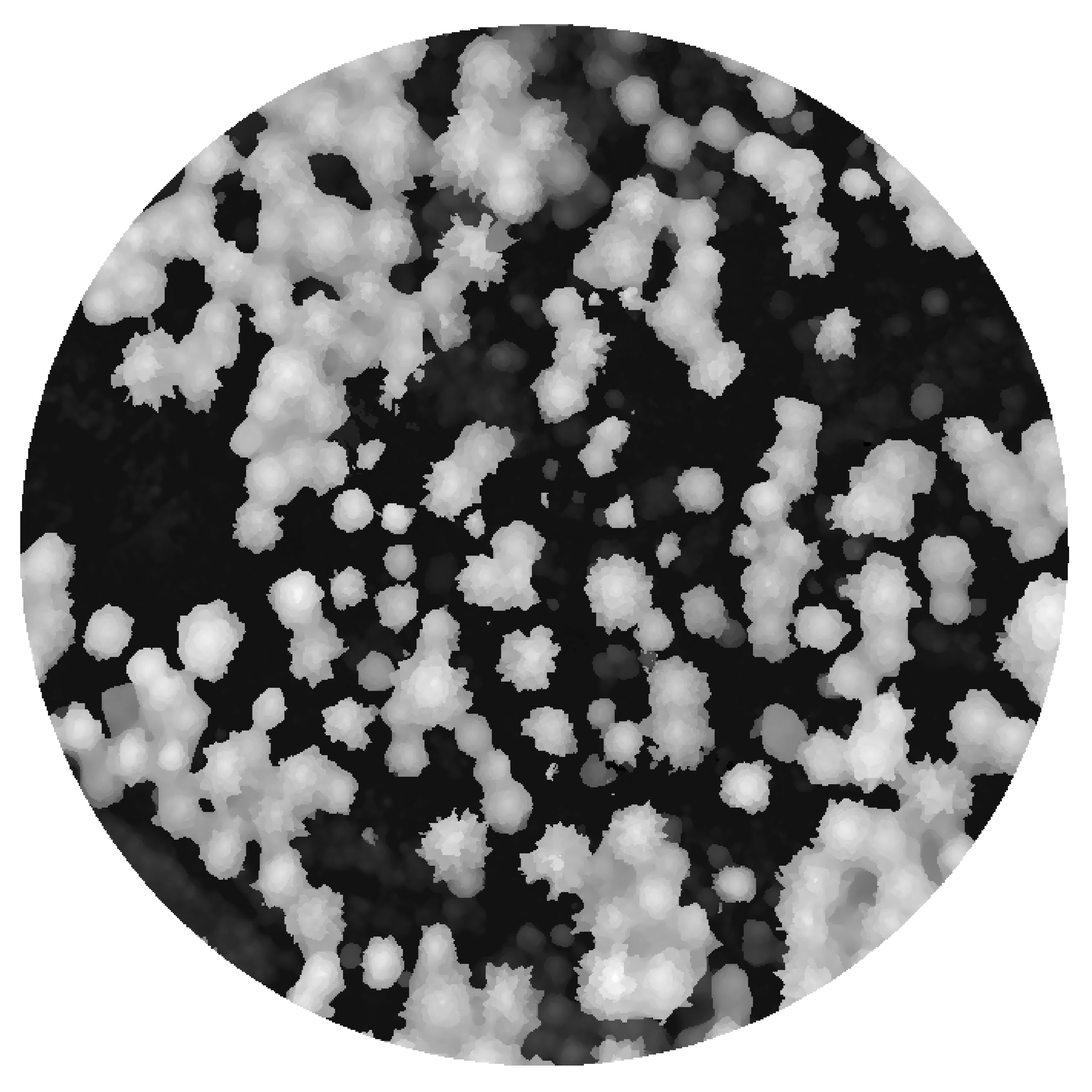
Canopy height model (CHM)
A raster data product that represents the height of vegetation above the ground surface. It is a geospatial data product, allowing for precise measurements and analysis using GIS tools.
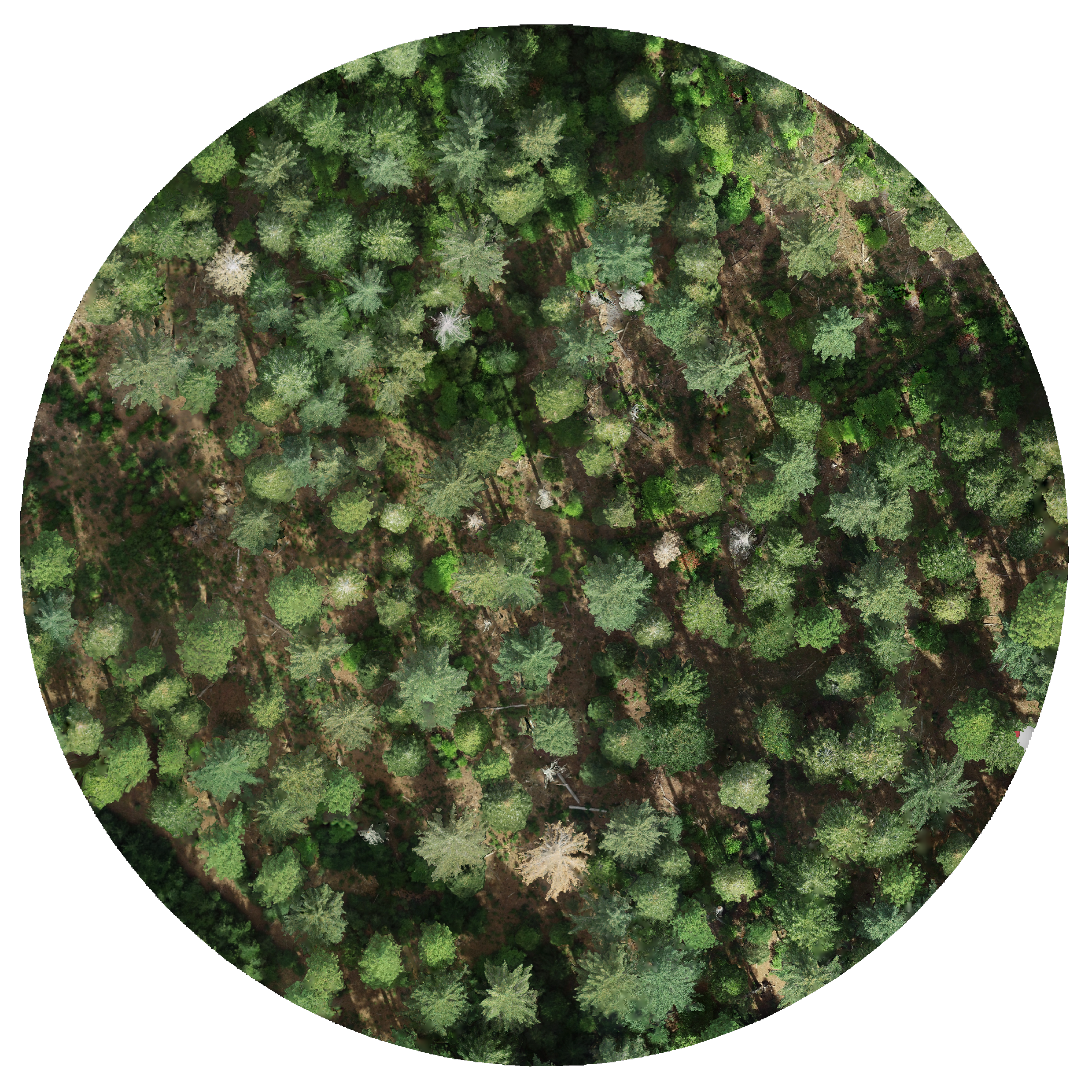
Orthomosaic
A georeferenced image created by stitching together multiple overlapping aerial photographs. It is a geospatial data product, allowing for precise measurements and analysis using GIS tools.
Variable-radius local maximum filter
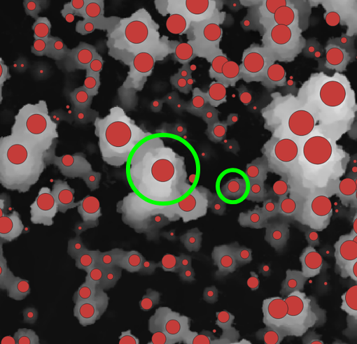
An algorithm that searches each pixel in a canopy height model to determine whether it is a local maximum (i.e., a predicted treetop) by comparing its height to neighboring pixels. The neighboring pixels that are checked are those within a radius that varies based on the height of the pixel being evaluated. The relationship between the pixel's height and the radius of the search area is defined by a user-specified function.